
A tough week resulted in the hasty decision to head into the Wallowas of Eastern Oregon. We arrived at the Hurricane Creek Campground just before sunset on a Thursday evening to set up camp and crawl into the tent.
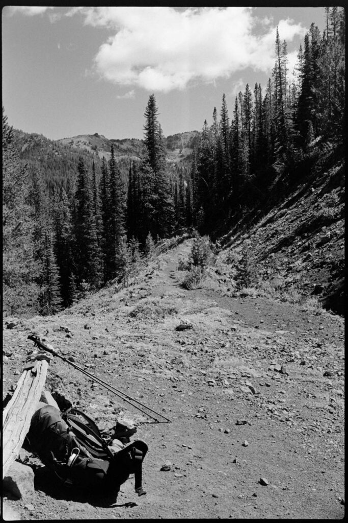
Up early Friday we made our way to the “trailhead” along Lime Quarry Rd 45.37808, -117.35148
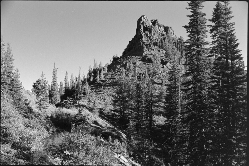
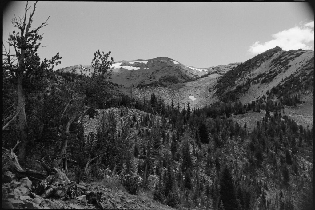
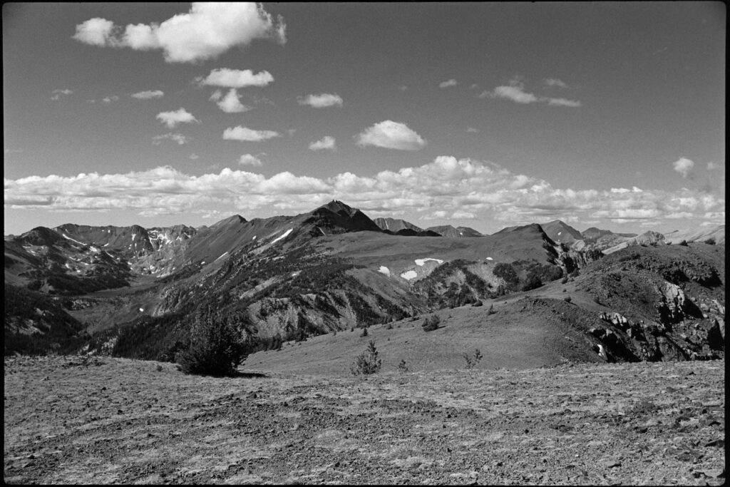
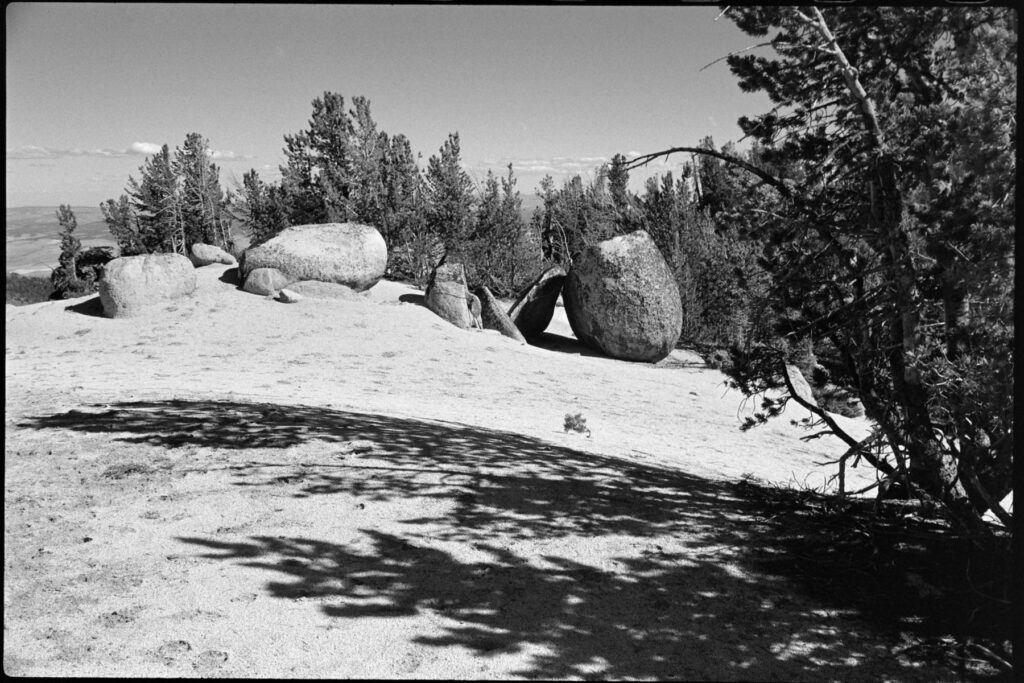
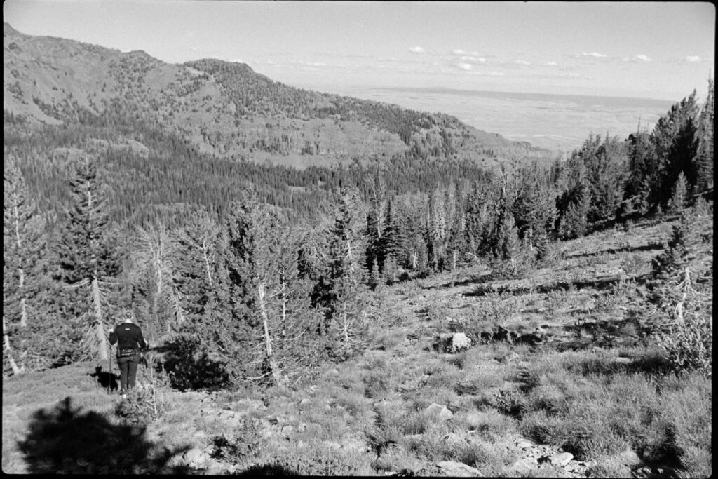
Immediately we were met with an hour or so of incredibly steep climbing until reaching the top with the most serene creek, a knobby spire to look at and a bench to have a snack on. From there it was the most enjoyable flat trail along a nice stream to the left with a drop off and views to the right. There was an opportunity to camp at one point along this path which I may utilize next time.
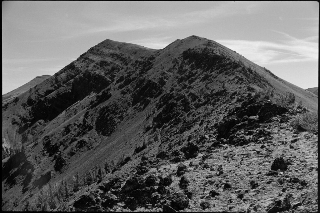
Then the trail fizzled out and the bushwhack began. Not really knowing whether we wanted to tackel both Ruby Peak and Traverse Ridge or just one or the other, we loosely followed someone else’s GPX track up to a saddle between the two. That climb up sucked the spirit out of us, at least momentarily. Ruby Peak looked easily doable but the return would be back down the way we came–and that wasn’t a fun prospect.
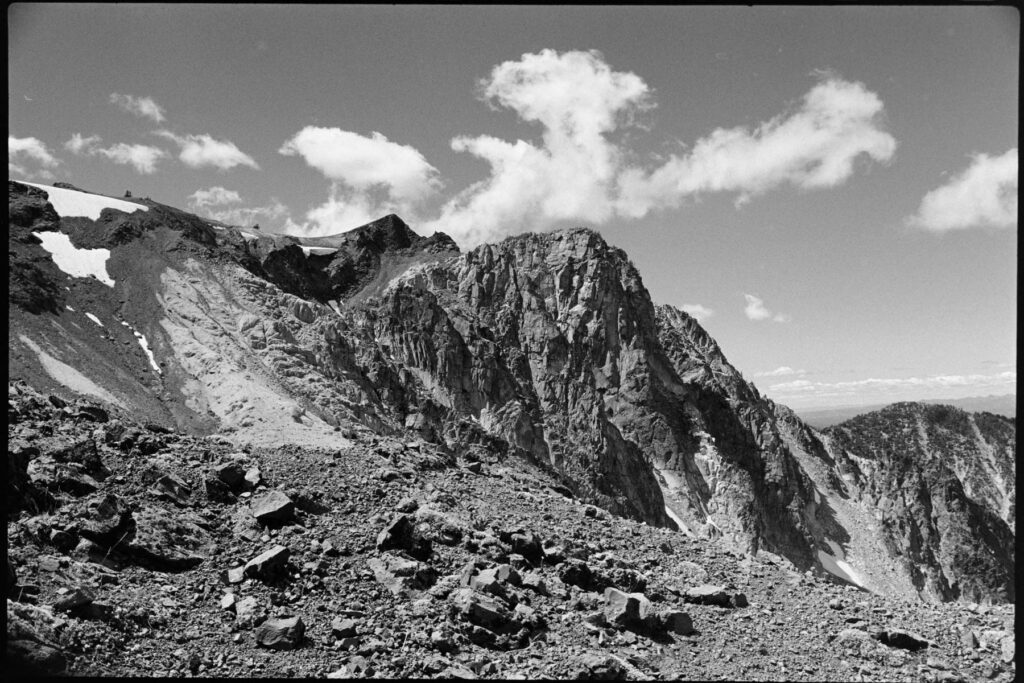
Traverse Ridge was a bit more daunting from our approach but it was 10 points (as opposed to Ruby’s 8) and it seemed like we could take the ridgeline for the majority of the return back to where we originally left the trail. Daylight was about to become an issue so we opted for Traverse.
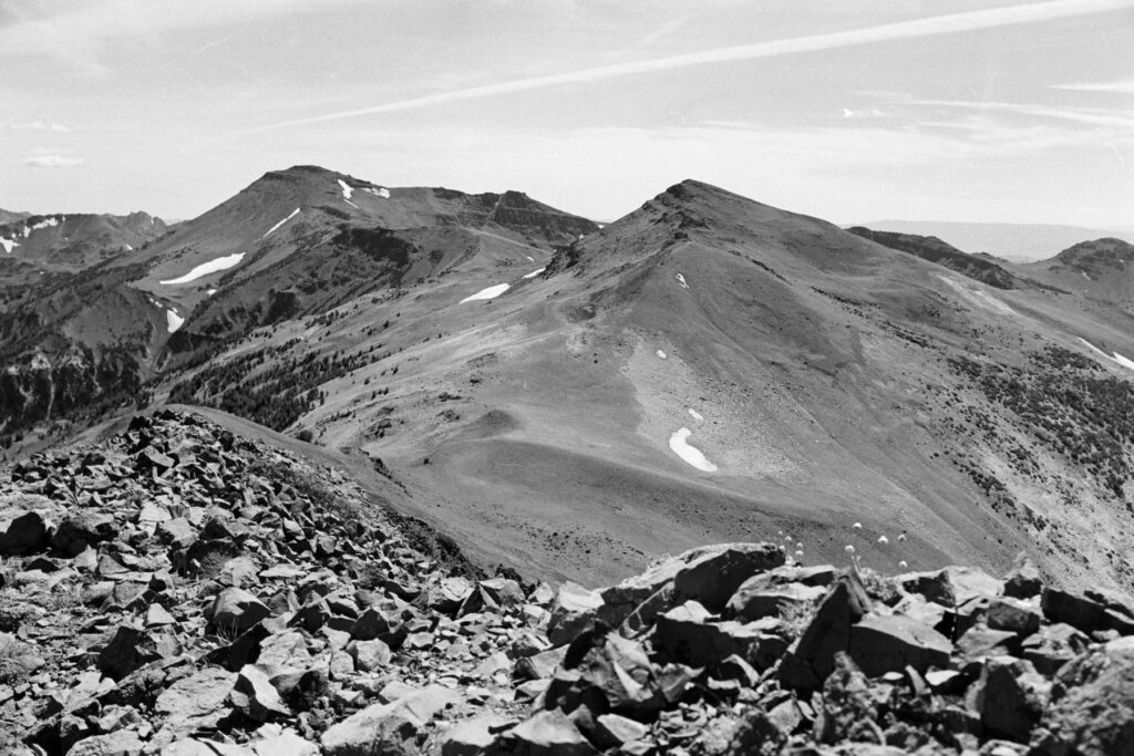
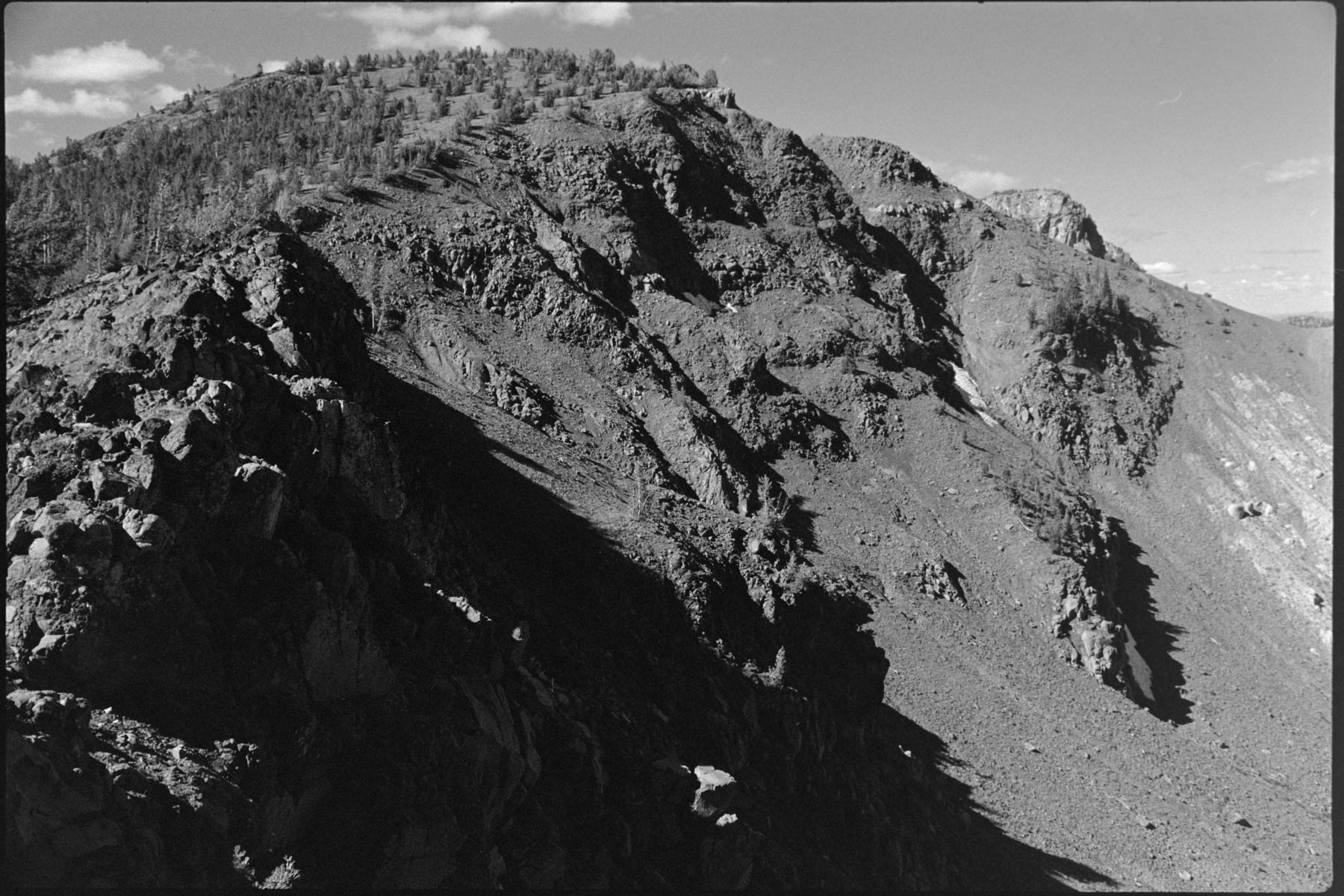
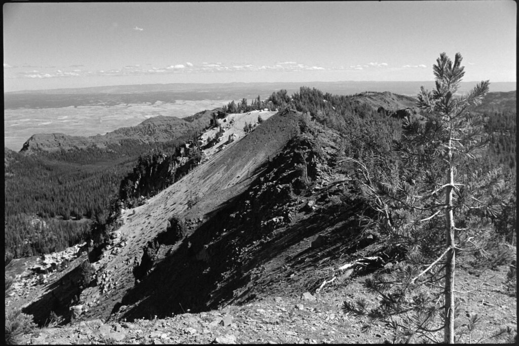
The scramble up wasn’t necessarily exposed, but it was crazy steep and a fall would’ve been really bad. We took our time and aimed our path up between two snow patches. Topping out was a great experience… the views were stellar and the summit itself was open and flat.
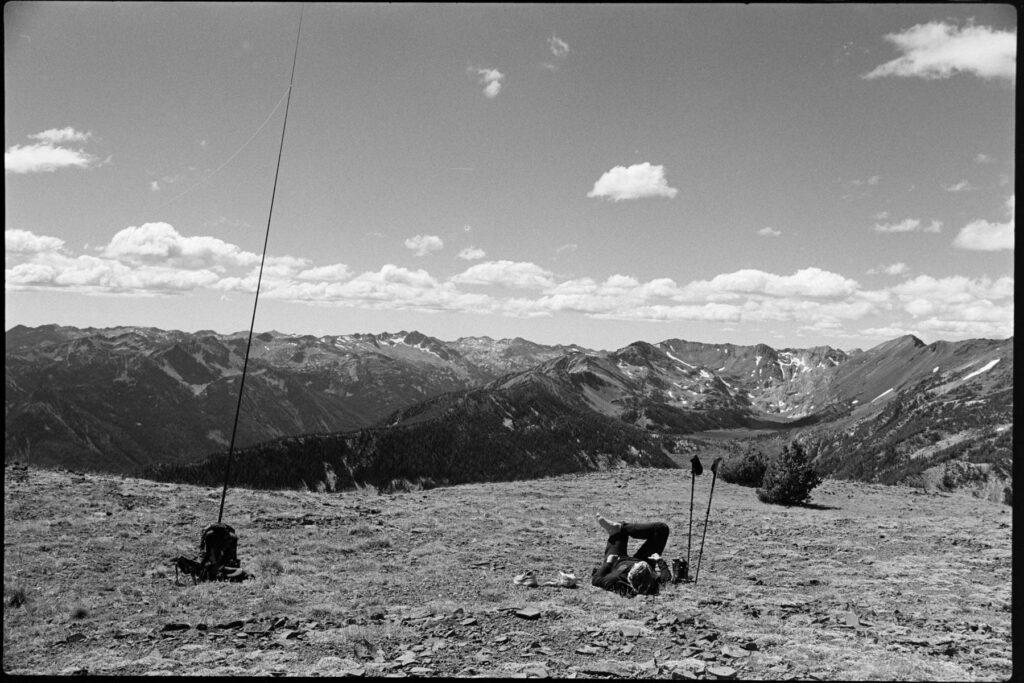
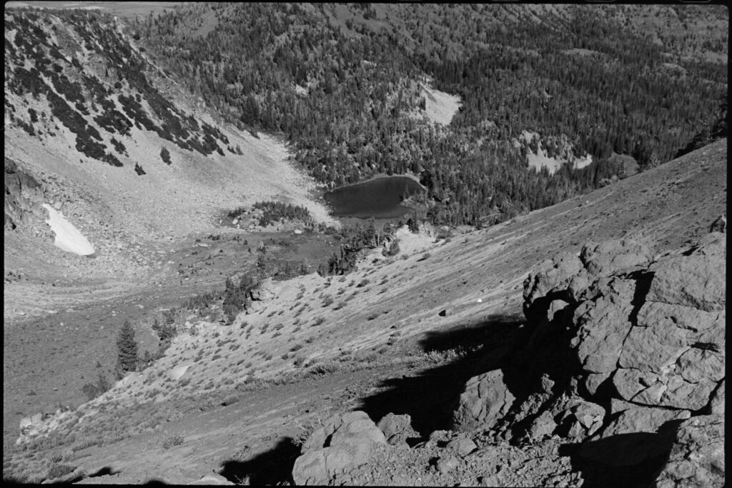
Many times, getting back can feel like the greater challenge. This was no truer today. The portion of our return along the ridgeline was incredible, full of impressive views and varied geography. But when it came time to leave the ridge and shwack our way back to the trail, this is when the fun stopped.
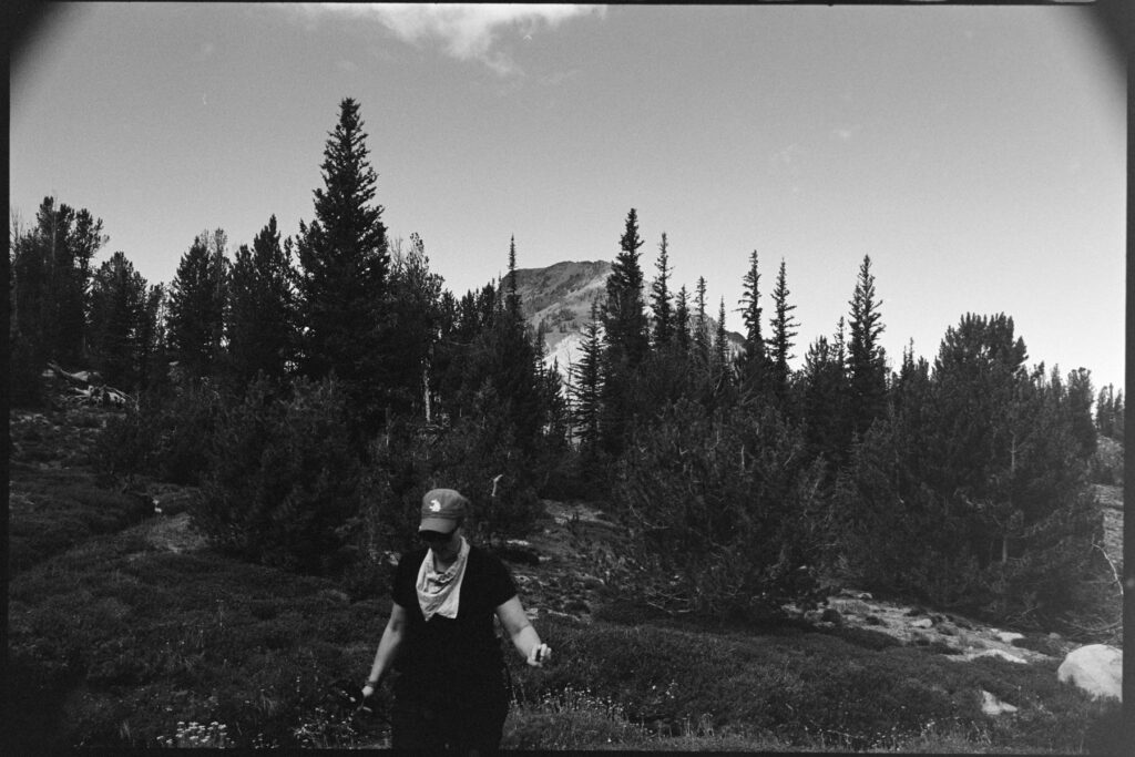
Corrie is a true badass. A former D1 rowing athlete with a 2k ergo best that stood at WSU for over a decade–she’s no stranger to the suffering. This hike had some endurance requirements, but it also had a fair amount of scrambly as well as a lot of swhack; and she’s not a fan of either those. But she powered through all of it and we ended with a real solid day behind us that we’ll remember for quite some time.
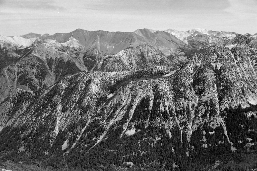
I had two different GPX routes to reference for our return and I don’t think there’s necessarily a good way to get off this ridge without a decent amount of suck. You just gotta pick a line, move, pick a new line, and repeat.
Note: I dropped a pin on the map labeled as “up ridge” which is essentially at the top of the first climb where we stopped to snack. Would going up that ridgeline and following it to Ruby, then crossing over to Traverse be a better option? A few weeks after the fact as I write this, I seem to think the initial climb up to that ridge might be a bit sketch… but I’d be willing to consider it the next time I go out.