
Miles: 5.76
Gain: 1463ft
QSOs: 4
Points: 4
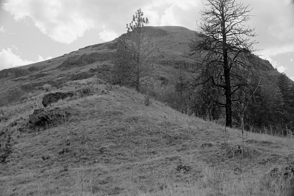
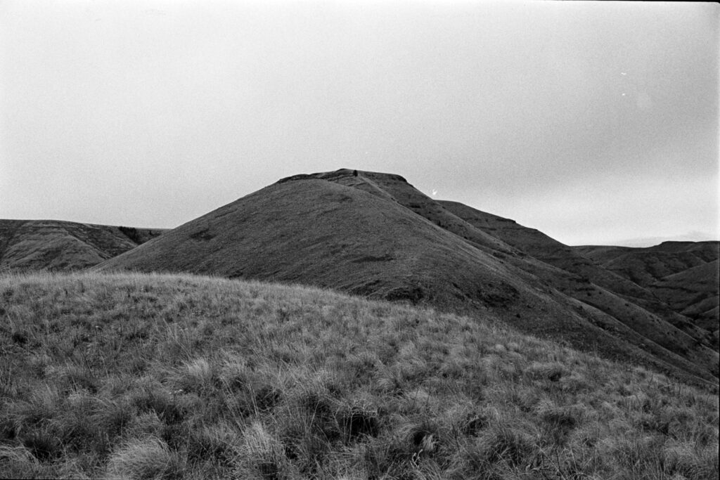
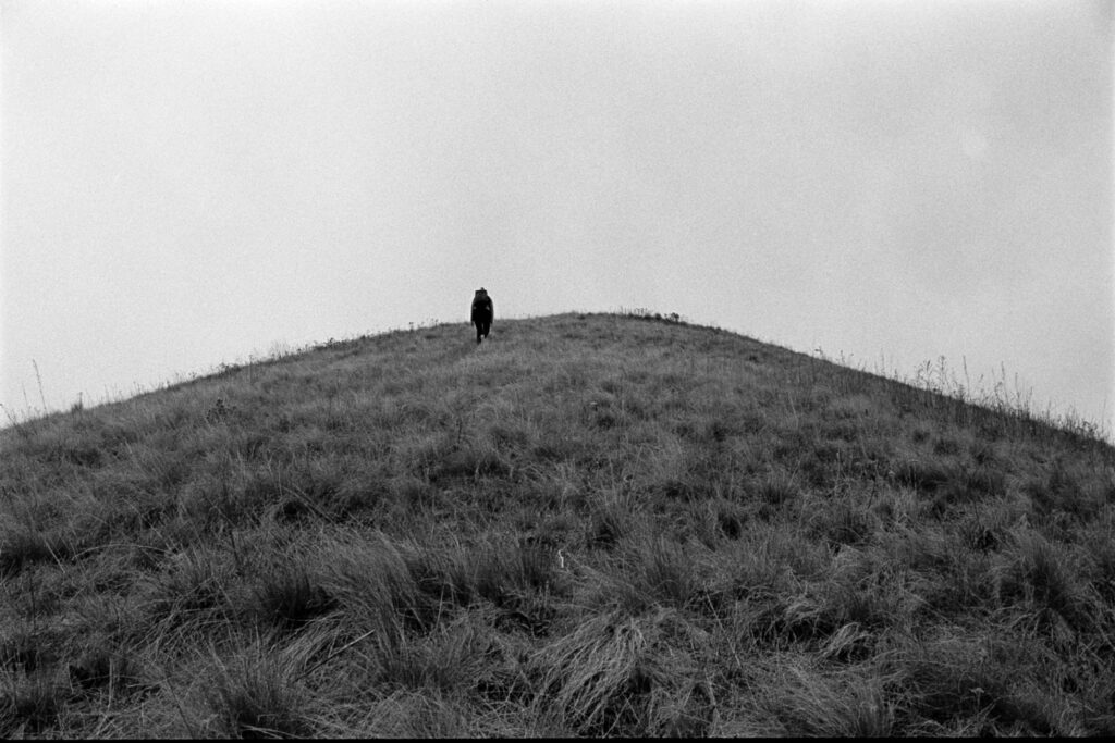
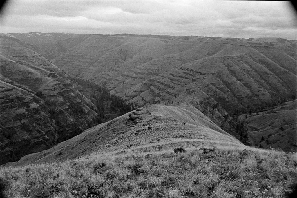
Almost immediately after leaving the parking lot, the ascent up the side of the ridge begins. It’s steep—gaining over 600 feet in the first quarter mile or so. The traverse across the ridgeline continues for another two miles, with plenty of additional climbing, until we topped out at the high point which felt like a flat, grassy mesa.
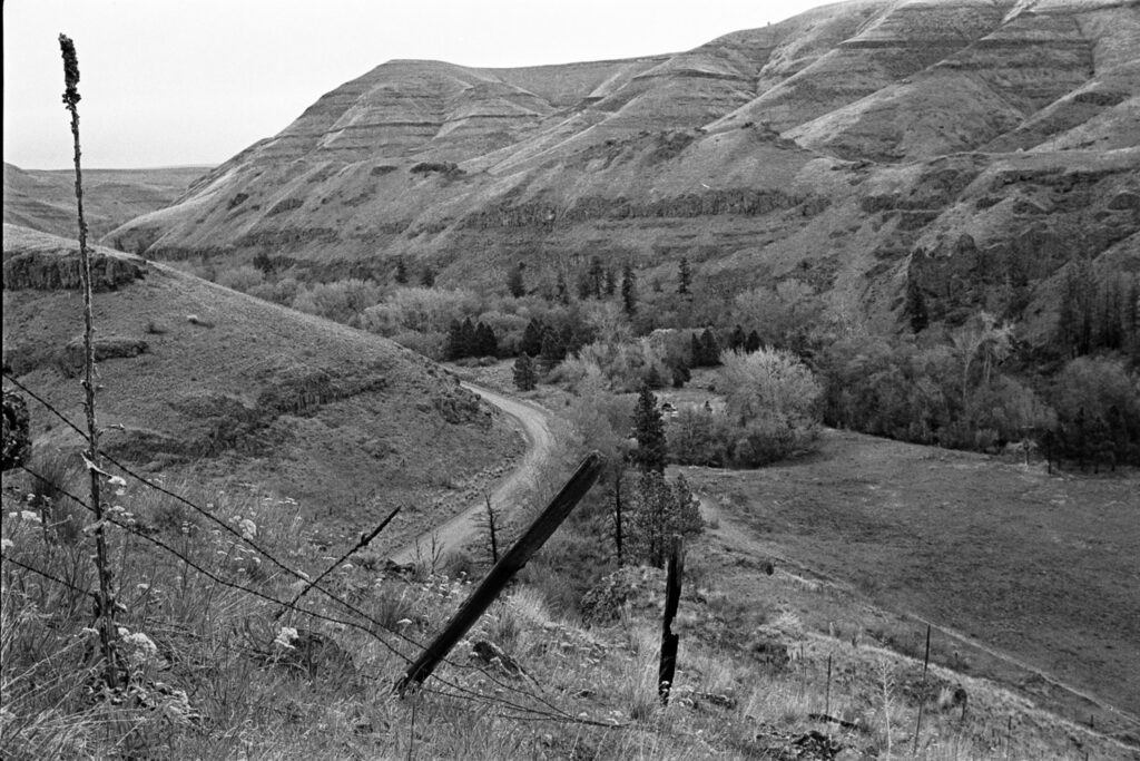
During the approach we saw a herd of bighorn below us to the south and watched a fast-moving group of mule deer book it across the draw.
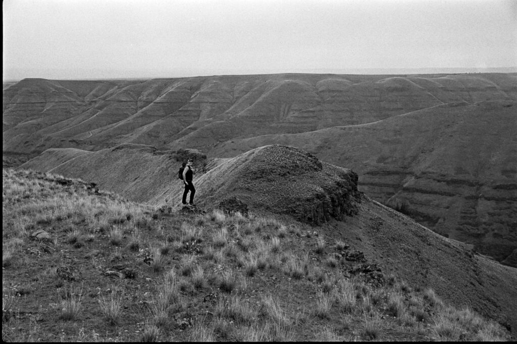
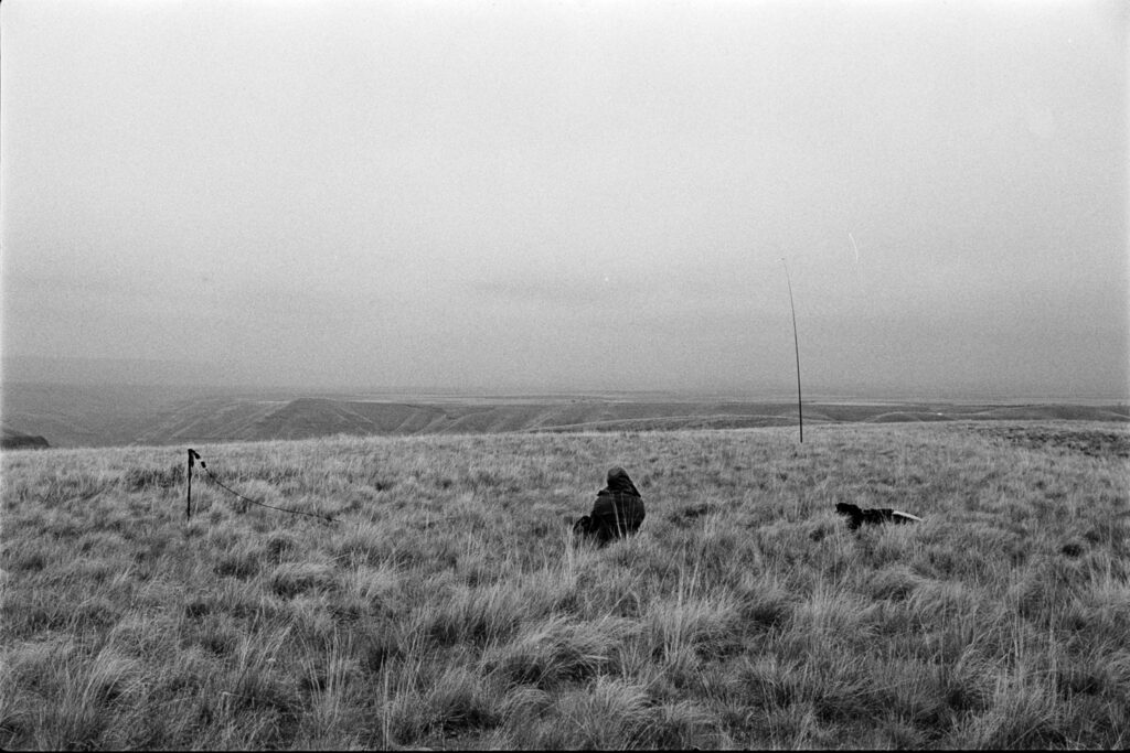
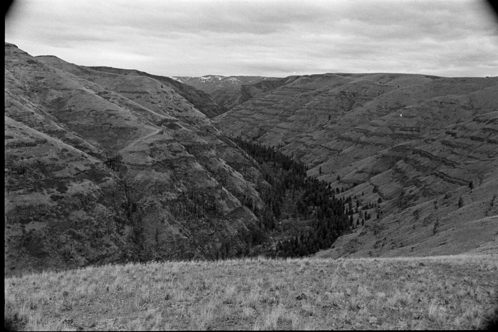
There were no trees in the activation zone, which made for a great 360 view of the surrounding hills and distant snow-capped mountains. As soon as the antenna was up, rain began to sprinkle on us. After four QSOs, which took about 20 minutes, the rain was falling heavier and it felt like a smart idea to get off the ridge.
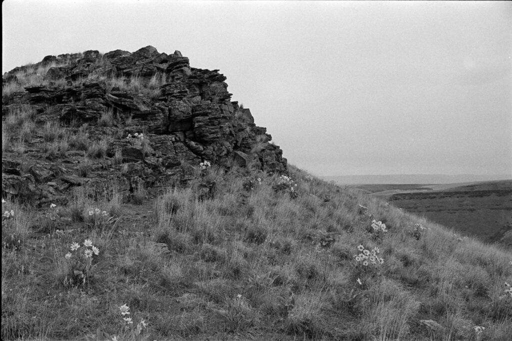
Route-finding back down towards the trail was steep, rocky, and a little sketch. We randomly found a geocache at the base of a rock spire so I stopped to write in the logbook and Corrie tossed in a friendship bracelet.

Returning on the trail felt wildly fast and easy after spending 3 hours navigating the cross-country route above.
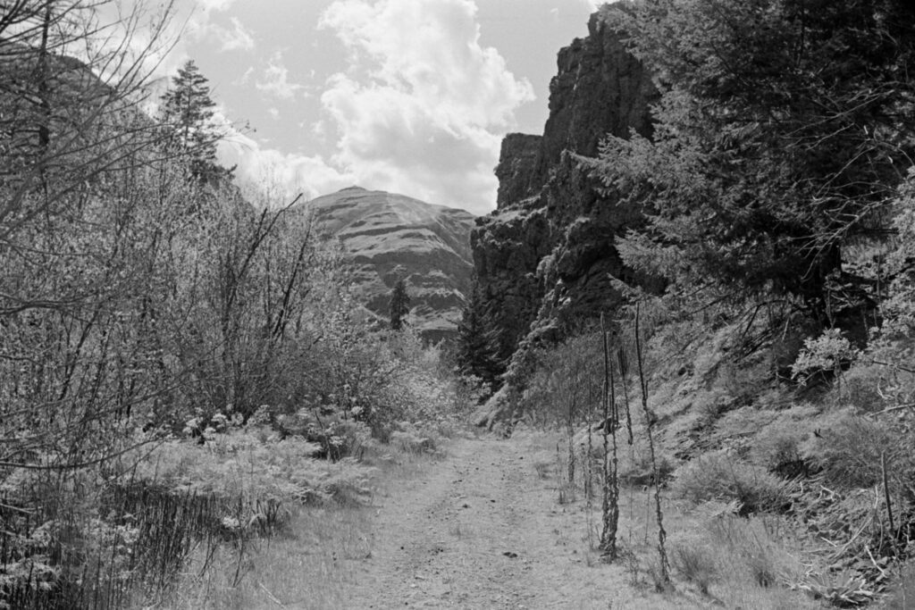
This could be done in reverse, but we both agreed that the idea of descending the eastern section that we initially went up seemed scary; we’d probably do it counter-clockwise again.