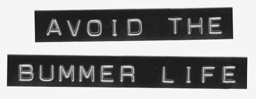
Author: K2VFZ
-
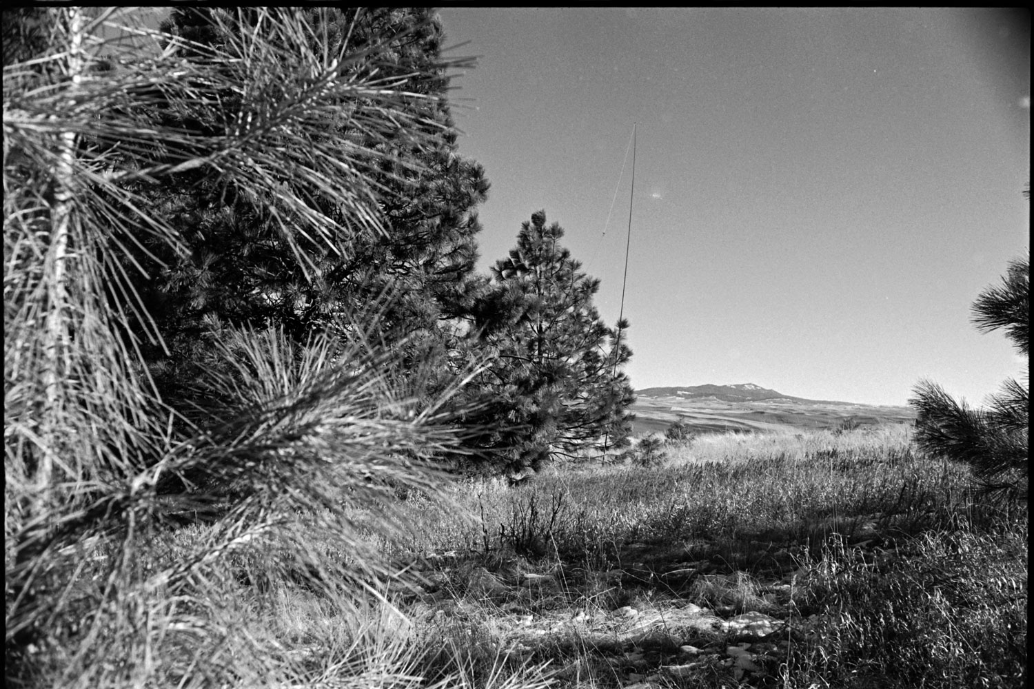
Peak Goals 2025
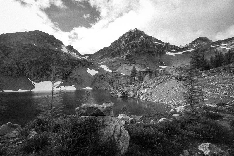
Black Peak, North Cascades. 2017
-
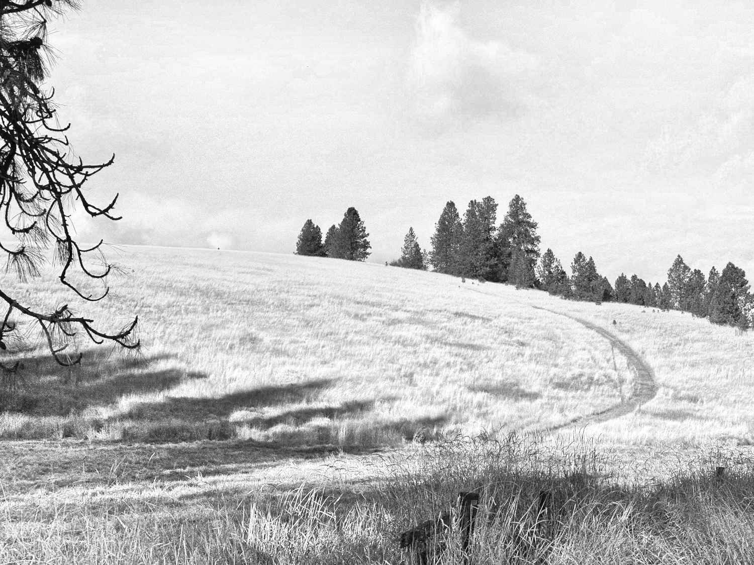
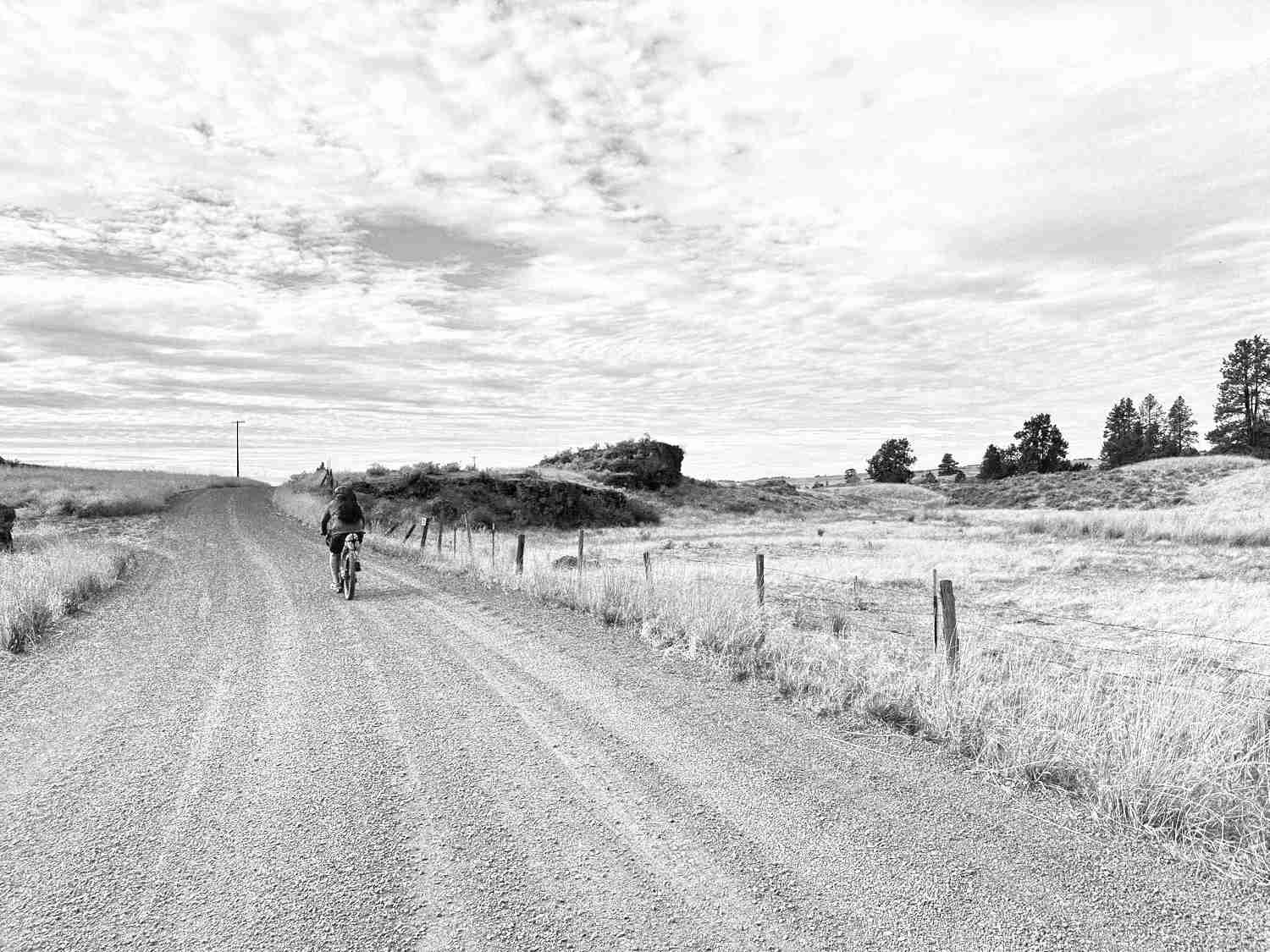
Smoot Hill W7W/WE-033
It’s been a mild January thus far and this weekend, although windy, was a prime 42F. Running a bit short on time, a close-to-home hill would be on the menu and Smoot was today’s flavor. To be honest, I’m not exactly sure about the accessibility of this summit. Some fencing along the nearby gravel road…
-
Holiday in EU
Last year we visited my family back in Arizona for Christmas and the round-trip tickets cost somewhere in the ballpark of $700 each. I said something along the lines of: “…next time we spend this much on plane tickets, we’d better be drinking beers in an European pub.” That initiated some conversation which eventually led…
-
Ins & Outs 2025
Boy, this last year was a real fuckin’ churn. Trying to make sense of all that swirled around us can bring on the most piercing of migraines–yet here we are. Looking over our shoulders while blindly anticipating the next few steps. Despite the shitshow that the world continuously reveals itself to be, life around here…
-
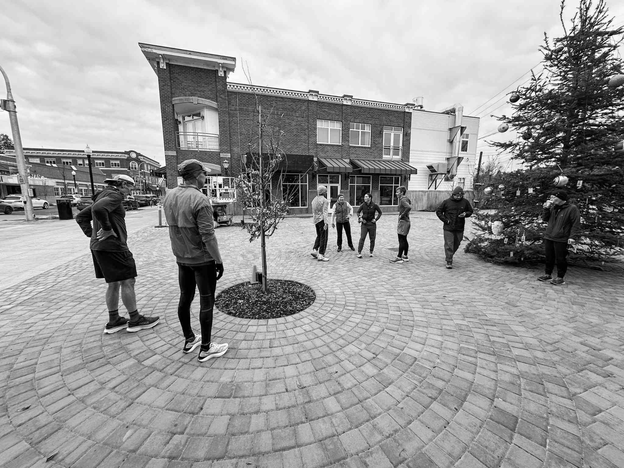
Pullman Winter Ultras
Every December/January, the Palouse Road Runners hosts two free “ultra” marathons we affectionately title the Pullman Winter Ultras. It’s a simple and relatively hands-off premise: you sign up for free and run anywhere between 1-4 eight-mile laps around town, no matter the weather. And the weather in Pullman this time of year can be heinous.…
-
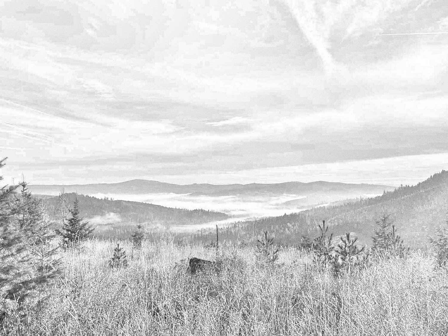
Smoot Hill
Another weekend with decent weather. Another first activation. This time it was Smoot Hill, super-close to home and the only reason I hadn’t tackled it until now: I wasn’t exactly sure anyone was allowed up there. It’s technically on WSU property as it is a nature preserve, but after speaking a cycling buddy who mountain…
-
Dual Idaho First Activations
The temps have officially dipped and we’re in the shoulder season of unpredictable and generally unfavorable weather. Saturday looked to offer a bit of a window, so I dug out a rough plan to work two more unactivated W7I summits: NI-268 and NI-269. This pair was super close to one another and road access seemed…
-
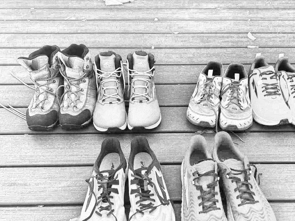
Autumnal Shoe Swap
We’re full into the fall weather here with temps in the 40’s and 50’s, leaves doing their thing and the sun setting at like 5:30pm. It’s fine, it’s all fine. My running/hiking shoe situation has been a bit unchecked this past year. I don’t know how many miles I’ve put into what but the shoes…
-
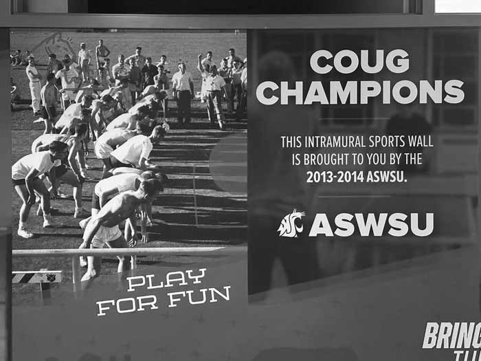
Campus Rec Mural
An indoor wall graphic I was commissioned to design for the WSU Student Rec Center featuring club sports historical and present. Representative movement through the mural encourages the viewer to progress along the hallway towards their physical goals while the screen and bench provide opportunity to pause and investigate.
-
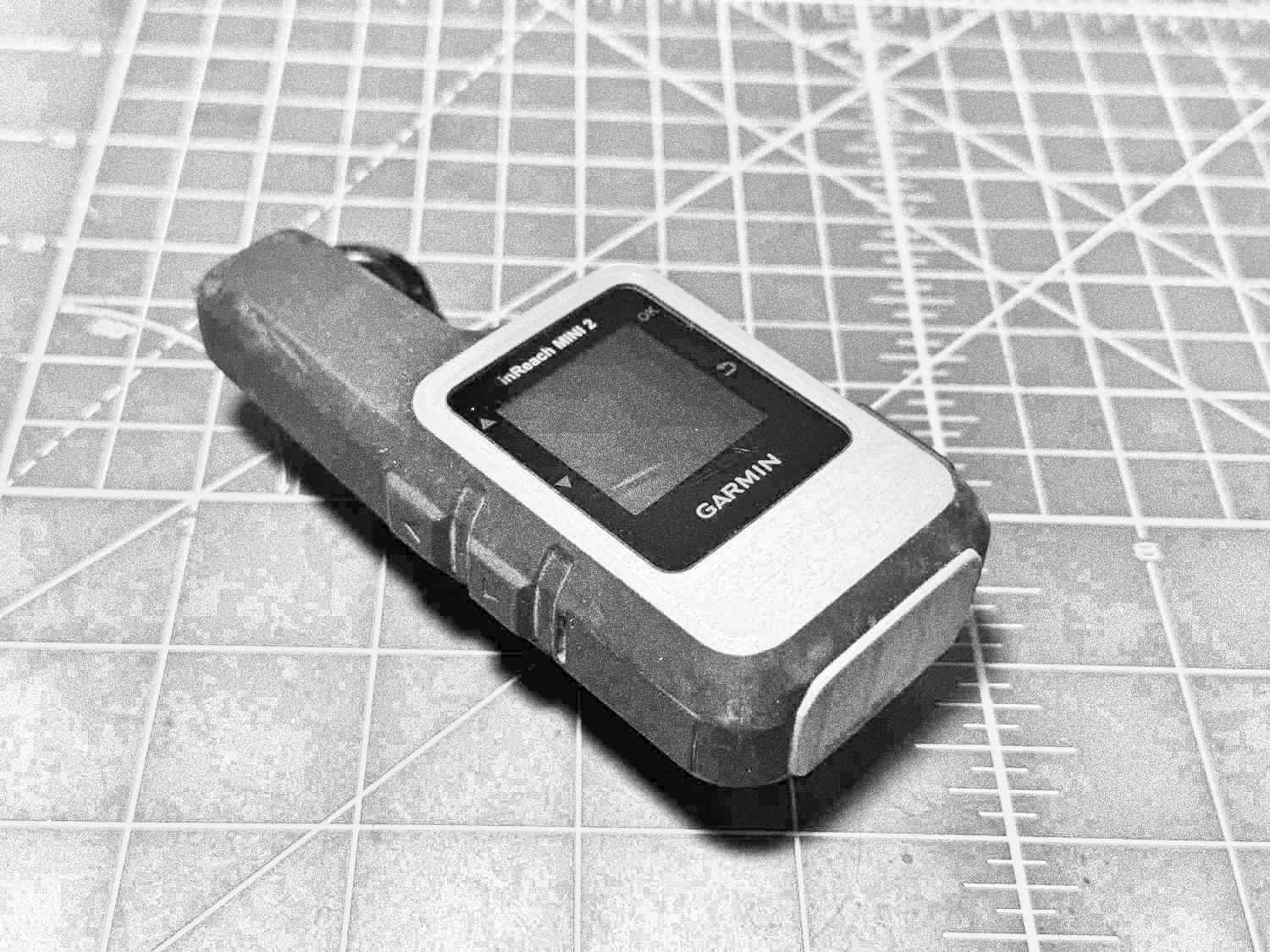
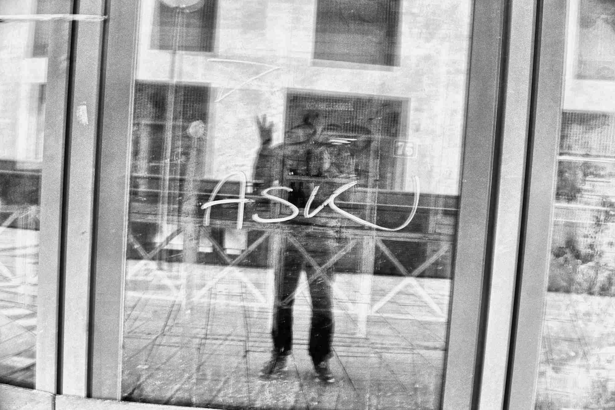
Hiding Things from Oneself
One of my “ten essentials” when heading out into the backcountry is my Garmin inReach Mini 2. It’s been an incredibly useful tool for getting texts out to my partner (or whomever) when completely out of cell service, which tends to be quite frequent ’round these parts. Aside from the convenience of friendly texts, it…
-
Two First Activations
Found a couple of not-yet-activated summits just north of me and across the state line into Idaho: Moses Mountain W7I/NI-207 and Tensed Benchmark W7I/NI-223. The two activation zones are only about 5.5km from eachother and the weather for this day was looking prime so I figured this would be a good opp for my first…
-
Escure Ranch Wind Plow
Hit my buddy Keith with the idea for one last quick gravel overnighter. He fired back pretty quickly with a route he’d had in his back pocket; it was 100 miles through some really cool high desert country, camping at Escure Ranch where I had spent a weekend working the Washington State Salmon Run just…