Northwest of Spokane lies a pocket of summits I’ve been eyeballing for months—about a dozen SOTA-qualifying peaks in the 6000–7000 ft range. With some free time and an itch to chase points and elevation, I mapped out a three-day backpacking trip in early June aiming to activate at least four eight-pointers.
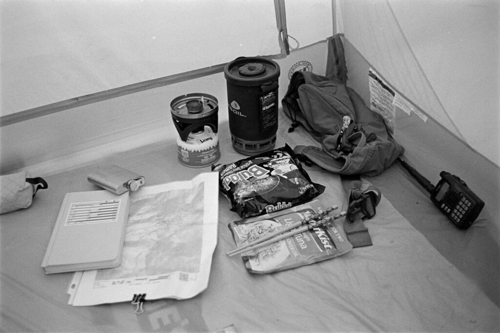
With almost zero familiarity with the area (always a great start), I hit the trail Thursday afternoon. I started from Sherman Pass Trailhead, heading south along the Kettle Crest, skirting just west of Sherman and Snow Peaks. Somewhere in a saddle—conveniently next to a rentable Forest Service cabin—I found a near-perfect campsite and set up shop. It was only about 5 p.m., still bright out, but the bugs had unionized and were not accepting negotiations. I retreated to my tent early to snack on a cold burrito.
Inside, I studied the Fred Cady Elecraft KX2 book on my Kindle. This was the radio’s first go—I’d had the KX2 for a grand total of two days, with only one QSO under my belt (to prove it wasn’t a brick). Would I manage a successful mountaintop activation with just 20 minutes of experience? Good question. I was wondering the same thing.
Bald Mountain W7W/FR-003
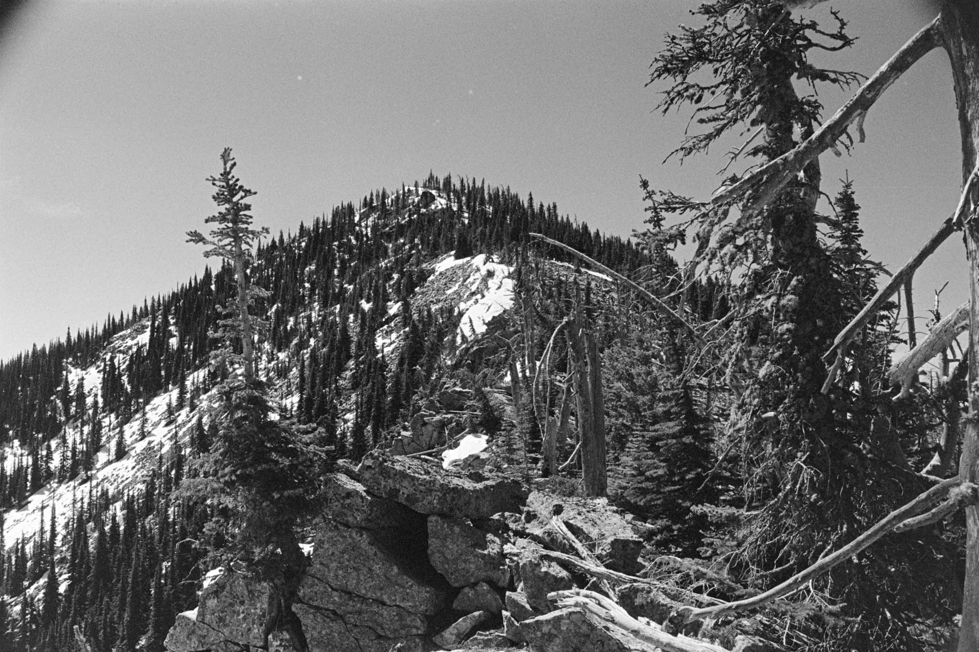
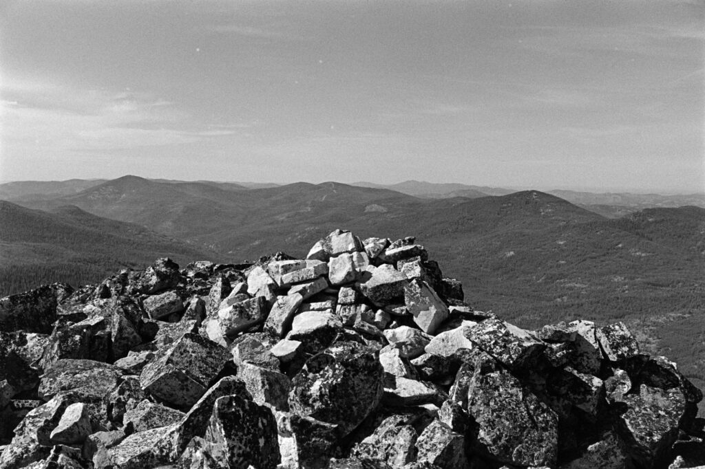
The plan was to start from the southernmost peak—Edds—and work my way north, leaving Bald for latter in the day. But standing there sizing up the peaks, Bald looked like it meant business. I decided it was smarter to hit it first while I still had fresh legs and optimism.
I ignored existing online beta that suggested a south/southwest approach and instead eyed a doable-looking line from the north/northeast. My logic: less snow exposure on the north side. My reality: boulder fields of doom. Not a total disaster, but next time, I’ll take the advice left on Peakbagger and come in from the southwest.
Edds Mountain W7W/FR-011
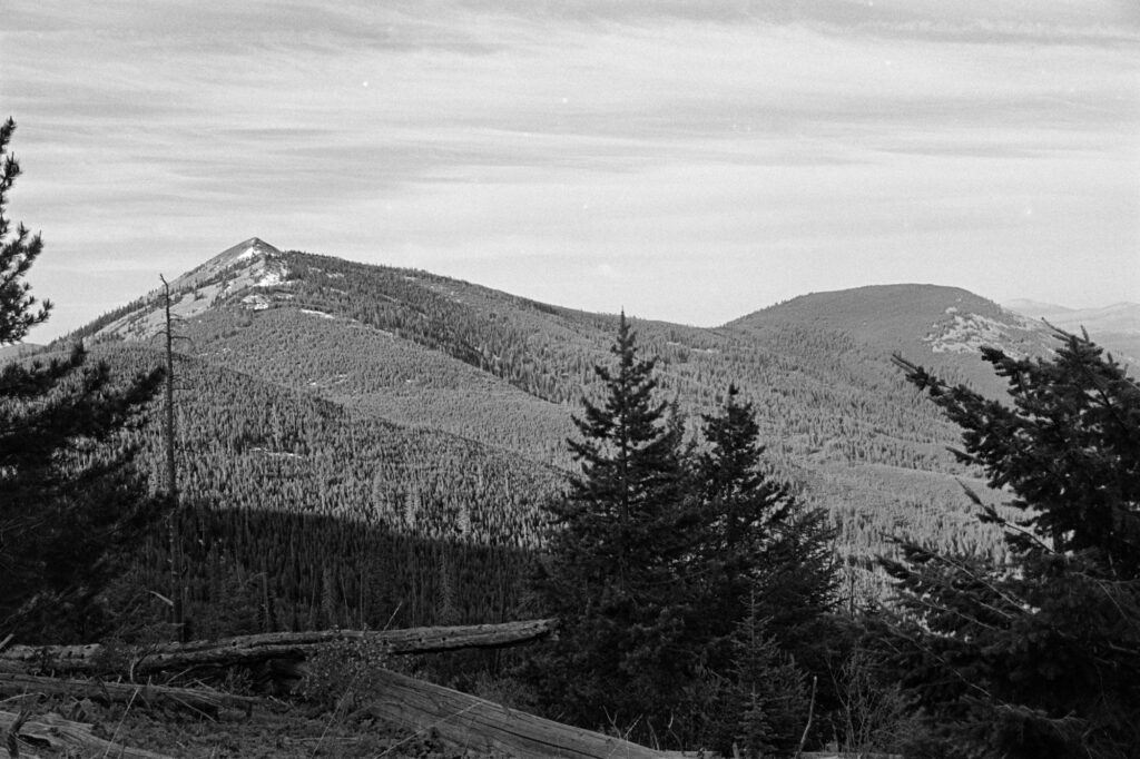
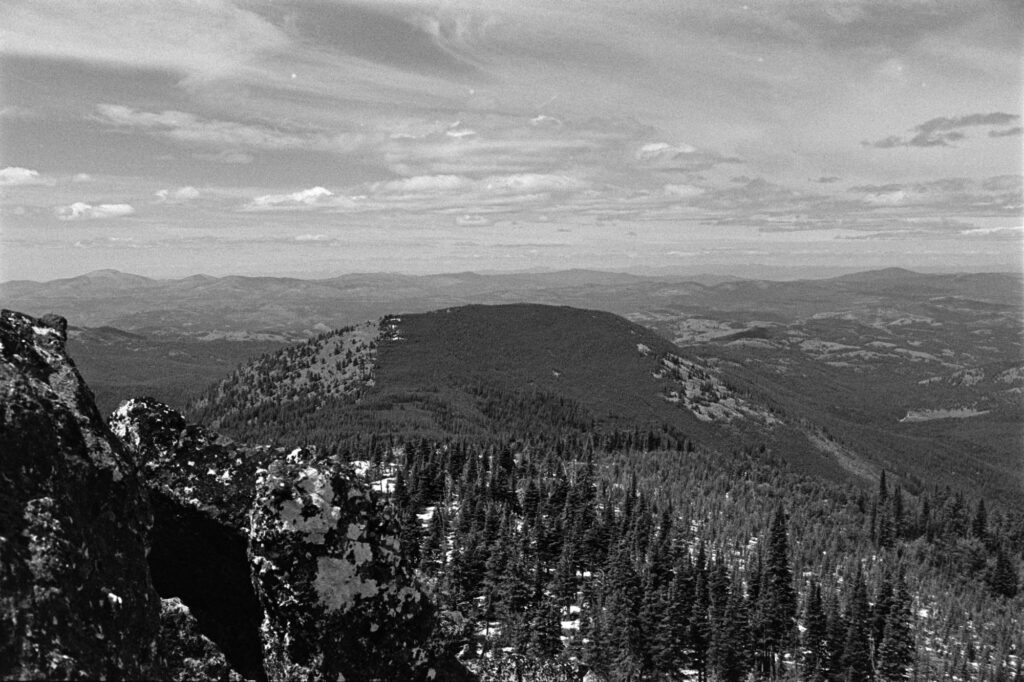
After Bald, I hit Edds. It was heavily treed, buzzing with biting insects, and honestly, kind of a slog. A summit, sure, but not one I’d be super eager to do again (but points are points, right?).
The hike back to camp via Bald was full of blowdowns—not the fun “challenge your agility” kind, but the soul-sapping “why do I hike again?” kind. I got back to camp, fired up some spicy Jetboil ramen, and collapsed. Big day. Bigger sleep.
Snow Peak W7W/FR-002
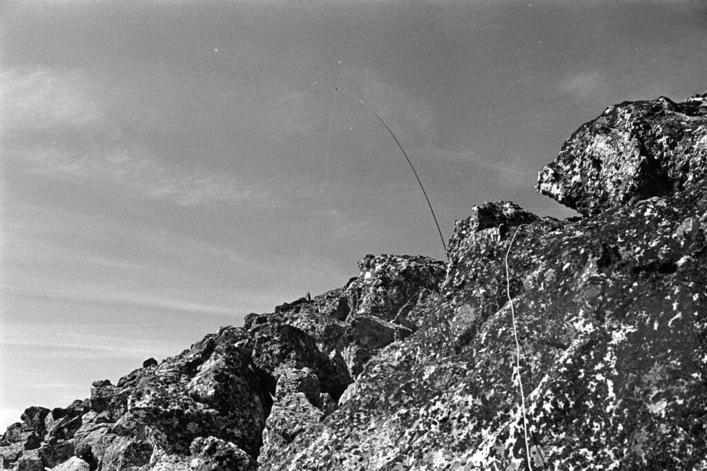
I rolled out of the tent early the next morning, fueled by two Pop-Tarts and some instant coffee that was probably more morale than caffeine. Snow Peak was a short jam from camp and was my favorite of the trip. Incredibly steep but not technical, with a gorgeous and antenna-friendly summit with solid 360-degree views. 10/10, would scramble again.
Sherman Peak W7W/FR-005
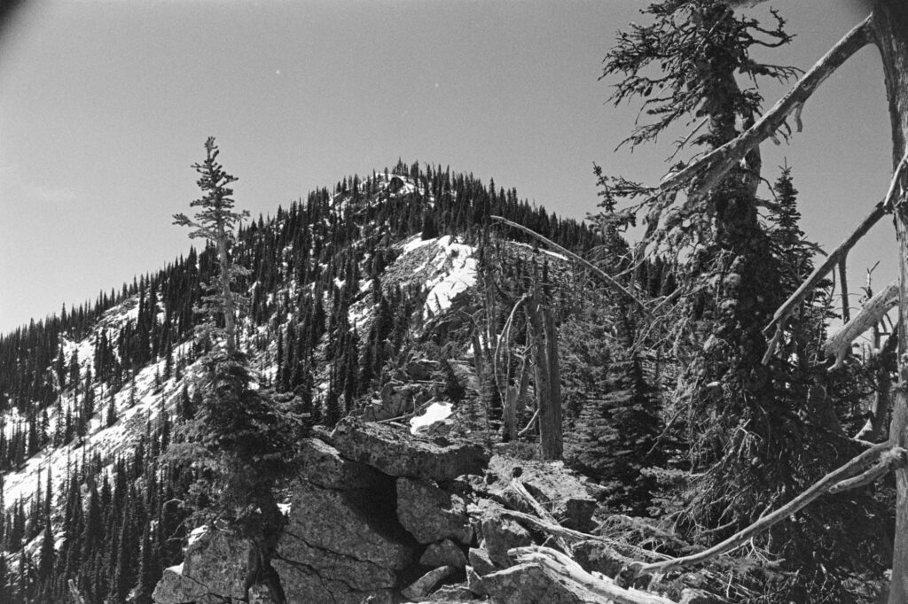
In theory, you can traverse from Snow to Sherman along the ridge. In practice, I encountered enough ankle-breaking boulders and sketchy snow cornices to reconsider all my life choices. Eventually, I bailed east off the ridge and reconnected with the trail (emphasis on “eventually”).
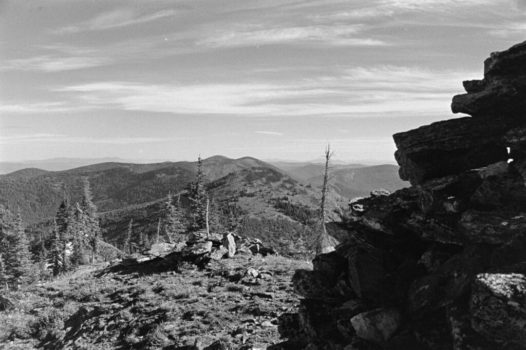
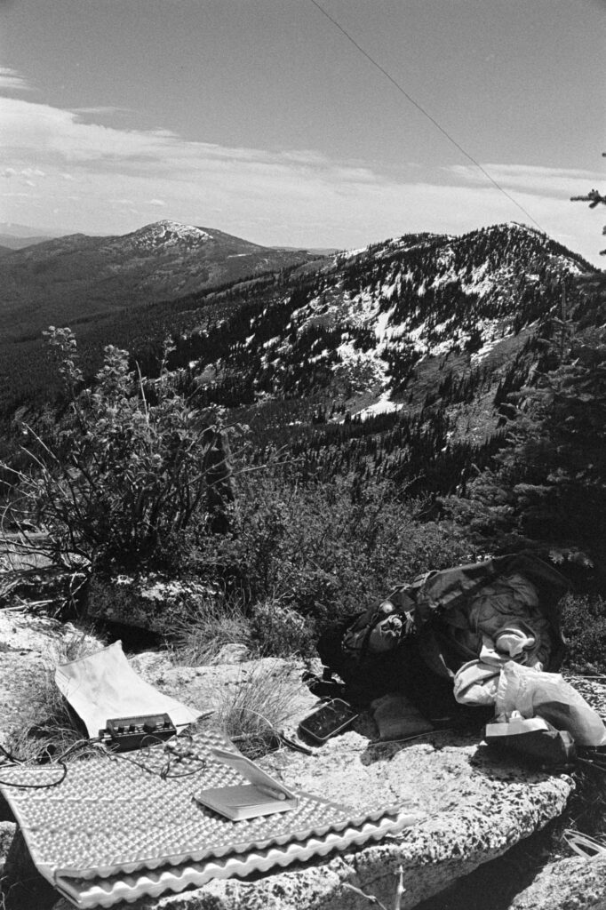
Sherman’s summit zone is rocky and sparse on shade—great for a view, not so great for loitering. I activated, grabbed a few photos, and made my way back to the trailhead. Visions of a burger and beer in Republic, WA fueled the final miles.
Paradise Peak W7W/FR-023
To put a bow on the weekend, I decided to squeeze in a first activation of Paradise Peak. This was both a success and a declaration: never again.
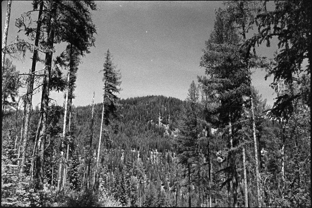
The drive up was an long choose-your-own-adventure through logging roads. The hike was heinously steep and overgrown, with barely enough room to set up and operate. One of those summits where the only reward is points, and getting down safely. But hey, it’s in the logbook.
Despite the mosquitoes, blowdowns, and the self-inflicted off-route scrambling, this trip was an absolute win. I’ll likely repeat a version of it next year, and if Future Me is reading this, here are a few things to consider:
- Rent the damn cabin. Tent life is fine, but the cabin would naturally be better.
- Bring bug spray and pants. Seriously.
- Bald Mountain: SW approach only. Or bring a helmet because that northern approach was sketch.
- Maybe try for a couple of those summits north of the highway. They’re eight-pointers as well.
